


By: Peter Kollie | Lofa Correspondent
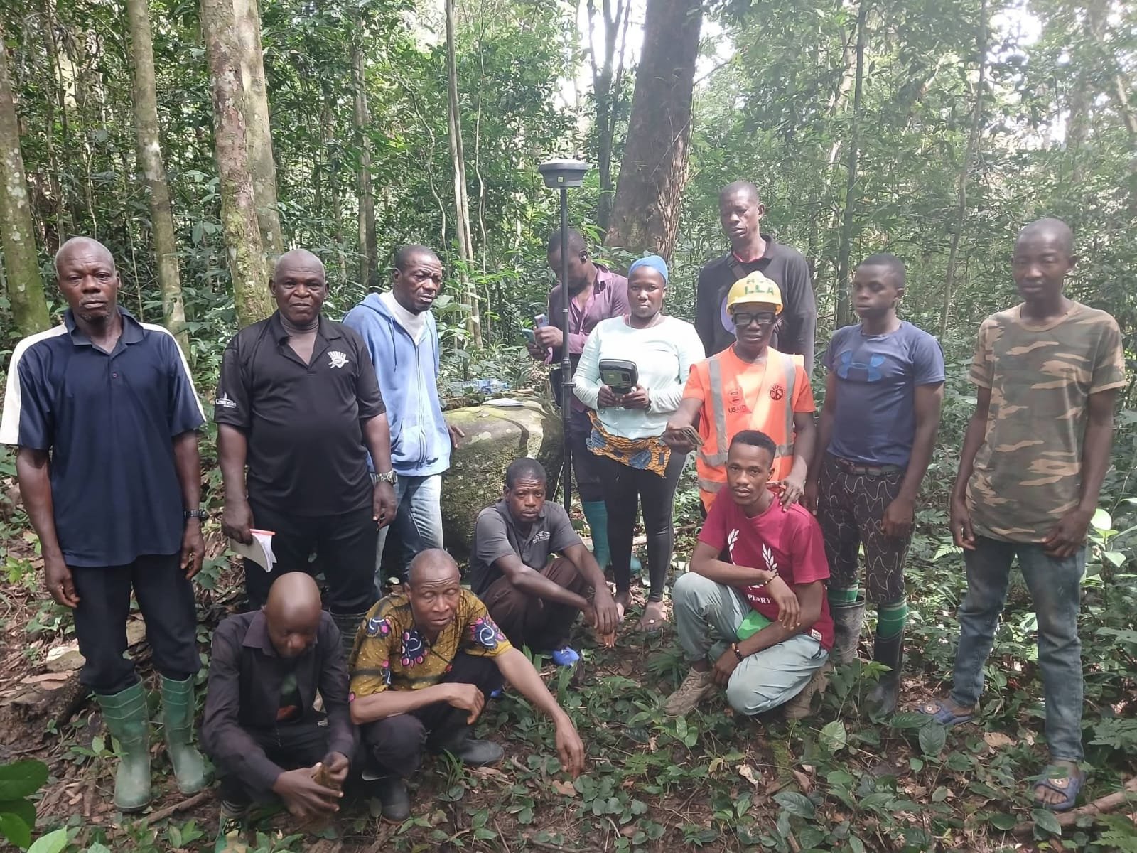
Zone Four Community, Lofa County |November 23, 2026|Residents of Zone Four Community in Mount Yonvor Clan, Lofa County, are a step closer to securing formal recognition of their customary land rights following the completion of a two-week confirmatory land survey conducted in collaboration with local communities and land institutions.
The survey was conducted by the Sustainable Development Institute (SDI), in collaboration with Fauna & Flora (FF), the Forestry Development Authority (FDA) and the Liberia Land Authority (LLA), as part of efforts to support the community in obtaining its customary land deed.
The exercise marks an important step in the community’s land documentation process, which residents have anticipated since 2025, and is expected to strengthen their efforts to protect land they have traditionally owned and used.
The confirmatory survey lasted two weeks and involved fieldwork across challenging forest terrain, requiring the participation and cooperation of community members and the technical teams.
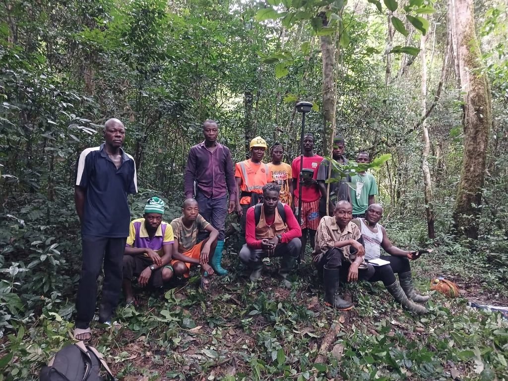
Residents welcomed the survey team with excitement, demonstrating their commitment to the process through active participation, cooperation and support throughout the exercise.
The successful completion of the survey is expected to bring Zone Four Community closer to securing formal documentation of its customary land, which could help strengthen local ownership and protect community land from potential disputes and unauthorized claims.
For rural communities, formal recognition of customary land rights provides an important foundation for protecting traditional territories, supporting livelihoods and ensuring that land and natural resources are managed in the interest of residents.
The exercise also highlights the importance of community participation in land documentation processes, particularly when establishing boundaries and gathering information needed for formal land recognition.
SDI and its partners have been working with communities and relevant institutions to support customary land rights and strengthen community ownership of natural resources.
During the exercise, key members of the technical and mobilization teams were recognized for their contributions to the successful completion of the survey.
Arthur B. Cassell III, SDI’s Geographic Information System (GIS) Specialist, provided technical support to the process, while Oliver Flomo, SDI’s Lofa County Mobilizer, contributed to community engagement and mobilization.
Garrison Charlie, Lofa County Surveyor of the Liberia Land Authority, served as the primary surveyor and provided technical leadership throughout the confirmatory survey.
Their contributions, alongside the cooperation of community residents, helped complete the field exercise despite the difficult terrain and conditions encountered during the survey.
The achievement is expected to strengthen community efforts to safeguard land and natural resources, while laying the groundwork for future development planning and responsible land management.
Securing customary land documentation can also help communities protect their interests in decisions involving land use, natural resources and development activities within their traditional territories.
For residents of Zone Four Community, Mount Yonvor Clan, the completion of the survey represents a significant step towards formal recognition of their customary land rights and the protection of their land for generations to come.
The process is expected to continue toward the issuance of an official customary land deed, pending the remaining requirements and procedures for land formalization.
The successful completion of the confirmatory survey underscores the importance of collaboration among communities, technical institutions and development partners in advancing customary land rights and strengthening community ownership in rural Liberia.

